Bukit Kutu Hike
Bukit Kutu is located at Kampung Sungai Pertak, Kuala Kubu
Bharu, Selangor, a one hour drive from Kuala Lumpur. GPS coordinate : N3.54359 E101.71961
Easy hike. With a total distance of 9.6km return (4.8km one way).
Trail condition mostly dry trail. Trail difficulty – easy to moderate. Duration
taken – 2.45 hours hike and 1.15 hour descent.
The trail may get rather confusing for a first timer at the
beginning as there are junctions without signboard. Fret not, the map shown
below may come in handy.

Follow the arrow - just keep right

River crossing

Ascending time

This is the last waterpoint...3.73km from start, duration : 1 hr 32 minutes

Reached Batu Tedung (the big rock), 4.2km from start (near dewan orang ramai), time taken 2 hrs.
(if you start from the parking area near the river, distance to batu tedung is 3km)
(if you start from the parking area near the river, distance to batu tedung is 3km)

This was just before the summit. On the right is the way to the peak with the huge boulder and ladder.
On the left is the chimney and also the way to the ruins or abandoned house.

This is the peak sort of...the actual peak is at the top of the boulder where you have to climb few flight of stairs. There were too many hikers climbing the ladder and moreover, it may post danger if it get too crowded.
Hiking Bukit Kutu wouldn't complete without exploring the scary abandoned house. Let's go to the ruins!

We are here! at the chimney area. Climbing straight up around 20 meters will take you to the top.
The chimney is at the background. Just walk straight
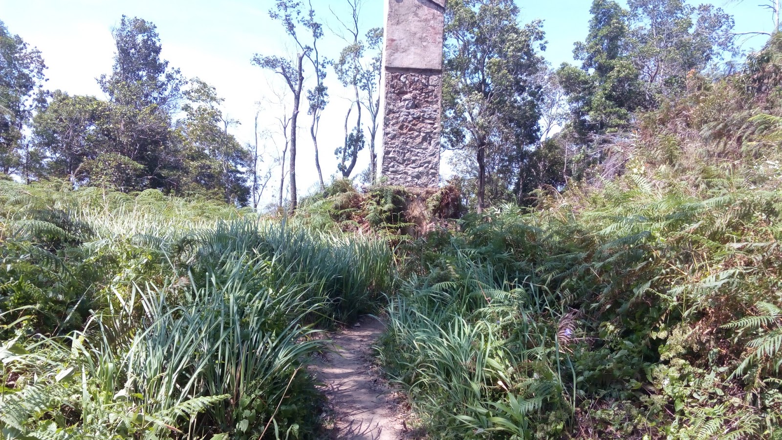
Walking towards the chimney

The famous chimney of Bukit Kutu. At the back of this chimney is where I came from

Just go straight. The structure on the left is the chimney
Just follow the trail for 300 meters or so, don't worry to get lost, the trail is very straight forward.

Welcome to the ruins!!

Yes, few more photos...don't worry, there are people here

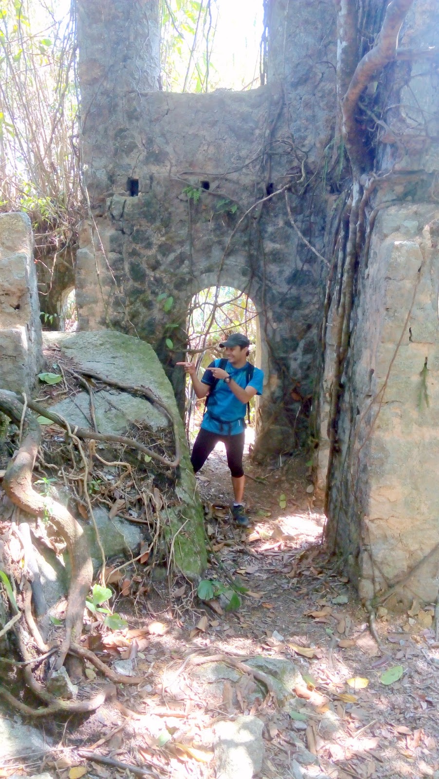
The ruins are the icon of Bukit Kutu...don't leave bukit kutu without visiting ya.

The descending part was most anticipated session as I can speed and run.
Total descending took only 1 hour 15 minutes.
After reading this blog, readers would be able to :
1) determine the trail condition, trail difficulty, distance and expected hiking time
2) Accurate direction to the ruins or abandoned house/structure
Thanks for reading
No comments:
Post a Comment