
Pre-Amble
Gunung batu Putih located in Tapah, Perak, around 22km from
Tapah town.
The easiest way to find the location is to find the GPS
coordinate Kuala Woh Recreational Forest (
Hutan Lipur Kuala Woh on the left side, just go straight to TNB hydroelectric station and orang asli village - follow the road until the end.
Hutan Lipur Kuala Woh on the left side, just go straight to TNB hydroelectric station and orang asli village - follow the road until the end.

The distance from Main road to Kuala Woh Forest Reserve –
1km and from Kuala Woh to Parking site – 10km through narrow and winding road. Its a one lane tarmac road and you might have a problem if encounter with incoming traffic ahead. Just drive to the end of the road.
Few checkpoints along the route depends on which route
taken.
Route 1 : starting point - Gua Azan – Balak – mini Batu Putih (peak)
Route 2 : starting point – Balak – Mini Batu Putih (peak)
Our route got only 1 checkpoints i.e Balak – 5km from
starting point and that’s it. On our way back, we dropped by at Gua Azan to
check out what its all about added additional 120 meters more (it’s a lot ok…)
On other route, the other checkpoint before balak is Gua Azan
– 6.5km from starting point
There were leeches since from the start – lots of them! So,
put your anti-leech socks on. The leeches attack lessen as we near the peak.
Another point to take note that, there were NO trail marker few kilometers from starting point and the trails were like labyrinth with few off-track trails - just be careful.
Total Journey
Ascending – 7.37km - 4 hours 18 minutes
Return – 7.5km - 3 hours 15 minutes
Total – 14.89km - almost 8 hours

There you go. Location of Bamboo Bridge and river crossing - Please note that the distances may varies few hundred meters.
Permission to Hike
As it is an Orang Asli settlement who happened to be in
their jurisdiction, a permission from them is needed verbally and shall
accompanied by their guide (without permit from forestry department)
No. 2, if there is a permit from the forestry department, I
think you can hike for free (that’s what local informed us…If I’m not mistaken…actually
I’m not paying attention to what they said…haha..)
Since we don’t have permit, we opt to use their guide with
Rm50 per pax to show respect …at least we don’t have to worry about the trail
route and have somebody to protect us…hehe.
There were also hikers who don’t need any permission from
the orang asli, the trick is to hike as early as possible, before 6.00am.
Accommodation
Tapah town
Parking
Ample parking space, foc
The parking space surrounding area :


This is the end of the road. Please park your car here

located near the parking space, stairs and bridge to their settlement
Lets Go...!!

Ready to Start - waiting for our guide

This is the beginning of the journey...from the parking lot
at the end of the road there are few more orang asli huts


A very unique pattern of woven rumbia leaves wall

From Parking to Bamboo bridge
Duration : 20 – 25 minutes
Distance : around 1.1km – 1.3km
Trail Condition : wet
Trail Difficulty : easy

The "death defying" bamboo bridge

Look how cool is our guide descending from the bamboo bridge.
and look how strong the current beneath

and look at me!
CAUTION!
Please note that the objective is to get across the river to
the other side, as such, there are 2 ways to get across, number one via the ‘rickety’
bamboo bridge which to me is extremely dangerous, its high above the river,
hanging on few tree branch, supported by ropes, the bamboos were tied together
and arranged with few layers to make it sturdy. But there were few bamboos has
lost its sturdiness, became weak and could break easily when we step on it.
Another thing that makes it dangerous is the lack of things
to hold on to. We need to hold on to something to keep our balance, but most of
the section there were nothing to hold beside your courage and moving forward.
Imagine that we have to cross the river with wet & slippery bamboo surface.
If the precarious bamboo episode was not an option for
suicide, then you may opt for the second “suicide” attempt – waist deep river
crossing! 200 – 300 meters BEFORE reaching the Bamboo bridge section (from start), there’s a
junction to cross the river (will try my best to pin point the location on the
map).
It is safe to cross the river on normal condition, no rain
and daylight – it is just a waist deep (above the thigh deep – depends on your
height) but if it is rain and dark, you may have a problem crossing. Beside the
depth which became chest deep, the strong current may swept you away. Lack of
visibility during the dark, you may find difficulties looking for the suitable
spot to step in.
Just be extra becareful here ya.
Update Jan 2019 : New face lift bridge

Photo credit and Thanks to : asmarveller.blogspot
From Bamboo bridge to Balak Check Point
Distance : 4.2km
Duration from Bamboo Bridge to Balak Check Point : 2 hours
Trail Condition : dry
Trail Difficulty : hard climb
From Starting point to Balak : 5.2km
Duration from Starting point to Balak : 2 hours 36 minutes

I wish i could held a meeting here

Balak Check point (or whatever they call it)
on your left is the trail leading to peak ya...

Find these trees..the entrance is just behind it (though all trees look the same..huhu)...

5.25km from start in 2 hours 36 minutes

Our guide in his killer pose - his name is 'TEK'

yes, after this aluminum stairs...and few more stairs...
From Balak Check point to Mini Batu Putih Peak
Distance from Balak Check point to Mini Batu Putih Peak :
2.1km
Duration taken from Balak check point to Mini Batu Putih
Peak : 1 hour 30 minutes
Trail Condition : wet
Trail Difficulty : extreme hard inclination
Distance From Starting point to Mini Batu Putih peak : 7.37km

made it! in 4 hours 18 minutes, 7.3km around 12.00pm
* My GPS indicated that from Mini Batu Putih peak to the Beirut
(Gunung Melintang as the locals claimed) is only 2.5km more. Reading the blogs it’s
a 2 – 3 hours journey, but to the locals its 3 – 4 hours (one way).


Just me and my guide on top of the hill

Gunung Batu Putih/Gunung Melintang - I will get you next time
To the locals, Gunung Batu Putih is where we stand (7.37 km from start) and the peak with Beirut (the steel pyramid shape) is known as Gunung Melintang located few kilometers away with up and down treacherous hills. But read through few blogs, the peak with Beirut is actually Gunung Batu Putih...– I don’t really know the facts. Oh well…anyhow, I will get to that Beirut one fine day, I will return with a vengeance.
The return Journey
The descending part was not an easy part, though it is
mostly downhill but my toes are killing me!
We decided to check out Gua Azan – the popular camping spot.
It is few hundreds meters long and added up the mileage…huhu…
Started journey down around 12.24pm

Gua Azan... a huge boulder aka shelter

This is on our descend -

This is Gua Azan junction on our way down from the peak
If you were from Gua Azan, you will emerge from here
Since we were not going to Gua Azan on our way up, the following distance could assist you in future :
From Starting Point to Gua Azan - 6.5km
From Mini Batu Putih peak to Gua Azan - 800 meters
From Balak check point to JUNCTION to Gua Azan - 730 meters

All I have was tuna sandwich - its 'me time moment' in a quiet, dense jungle
The River Crossing

From Left to right

Using another junction, we ended up here to cross the river.
It is just few hundred meters 200 - 300 meters from that junction to the bamboo section
(map details will soon follow - if I'm free, busy la lately)

Completed the journey in 7 hours 58 minutes
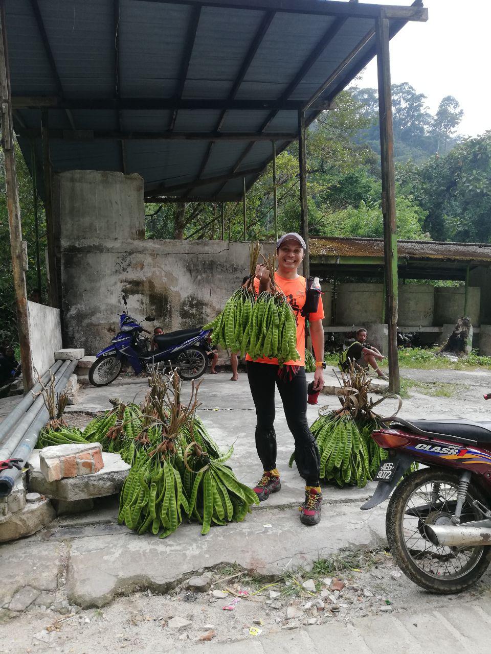
It could fetch around RM40 - 50 per bundle


