I would recommend bukit repin from Lepoh (rather from kemensah) as the distance is shorter and on the way back it's totally going down to lepoh waterfall. After Lepoh waterfall, it's flat like lempeng (pancake).
(If from kemensah, de-motivation comes after Lubuk Tedung all the way to finishing line)
You also may consider to hike bukit repin from Janda baik (Pahang), Kemensah (Ulu Klang) or Gunung Nuang, Hulu Langat (Pangsun) or if you are free and got nothing to do, you may do a full loop - Lepoh, Bukit Repin, Lentang Legong, Nuang, Janda Baik or vice versa..the trail could be crafted to suit your need.
Of course, the longer the trail, the more preparation you need to be aware off - drinks, water station, food, shelter, power bank, emergency kit, etc.
Leech are aplenty! So, I recommend to wear a leech socks, it will save your time, just keep on walking. If you use insect repellent, you may need to stop apply and reapply, that would cost you a precious time.
Dead-Tie knot your shoes string - untangled shoe string can be a nuisance during your hike. Just dead-tie it. Will show photo later on (cannot find in google..demm!)
Tired of your shoelaces coming off in the middle of hike? Dead-knot it...
Summary of Hike
Total distance - 21.7km in 9 hours 12 minutes
10.5km one way in 5 hours 6 minutes (ascending)
11.1km return in 3 hours 40 minutes (descending)
Plan your journey with suunto apps
GPX file :
A tiring day
This is the starting and end point
Ample parking space as you go deeper.
No need to worry about parking
Huge parking area
Started at 7.33am
Reached this ruin shack at 3.6km, another 5.9km to bukit repin
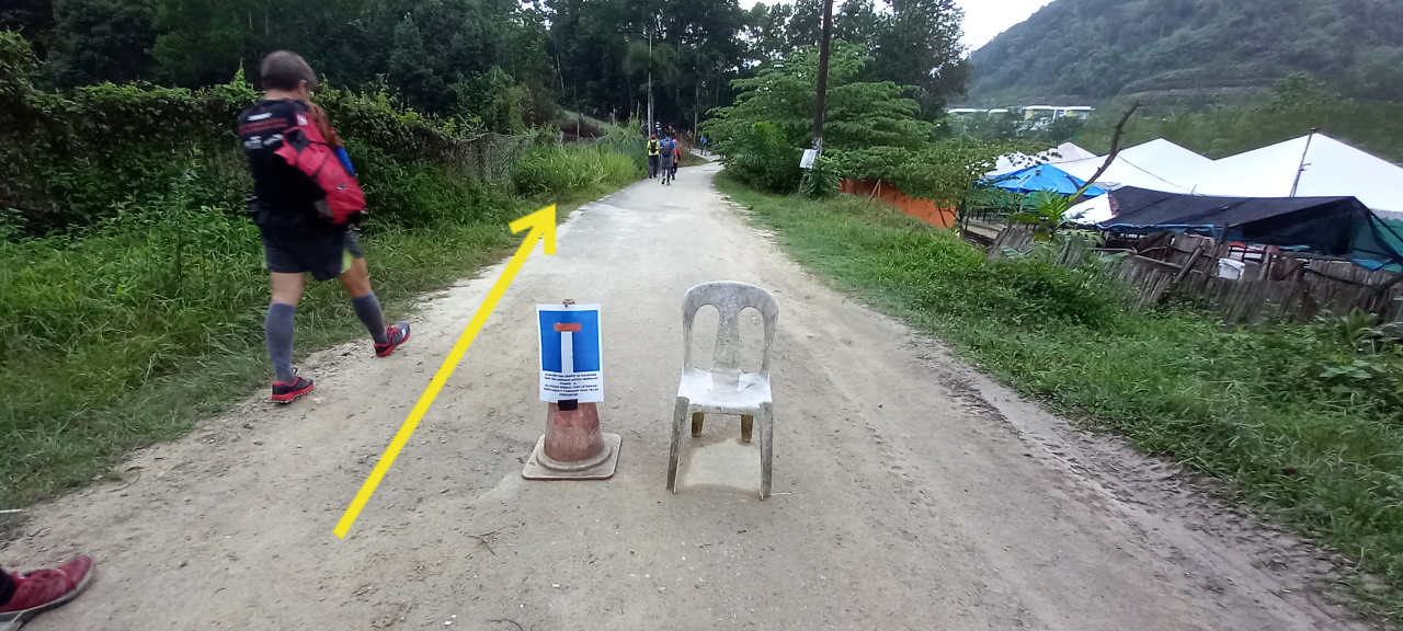
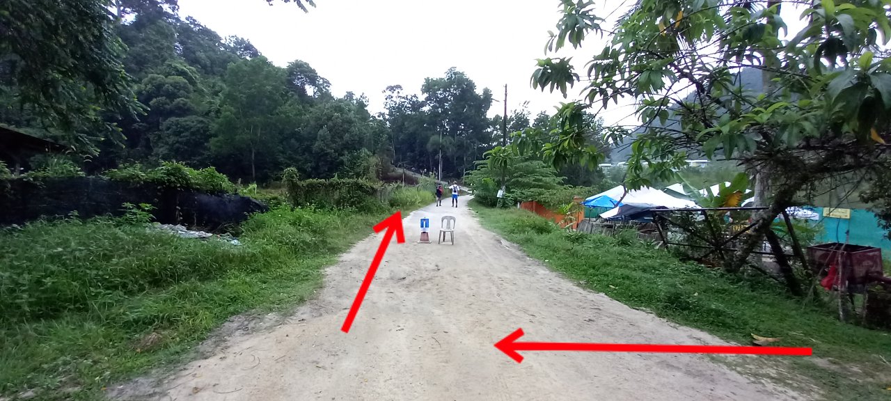
This is lepoh Waterfall, 3.9km from start
Get ready for hard inclination after this ya...
Just an ordinary tree
To show my lousy camera
We reached the junction to Bukit repin and lentang Legong at 7.5km from start, 2.5km more to peak of bukit repin.
Trail difficulty : hard...
This is the crucial junction at 7.5km from start.
Please turn left.
The bukit Repin junction ya...
Though it said on my watch its 2.5km more to peak of bukit repin (from the junction) but when I relook back on the actual distance, it was 3km from the junction. So, plus minus 2.5km - 3km...be prepare for this ya..
Yay! Finally! After 5 hours and 10.5km later, we landed at the peak of Bukit Repin.
From Bukit repin junction it took us 1 hour 36 minutes to reach the peak.
Trail difficulty - hard, up and down but mostly up
Been here couple of times..
We're going down at 1.06pm, 25 minutes rested here
Reached back the junction 1 hour 25 minutes later
At lepoh waterfall, 17km from start. 3.49km to finish line. Downhill seems fast but extra careful.
I fell few times
Completed at 4.45pm after 9 hours 12 minutes of hike, 21.7km of total journey.
Hope the readers benefits from this journey.