Gunung Gap & Gunung Ulu Semangkuk located at the bottom of Fraser Hill, 30 minutes from Kuala Kubu Bharu town and almost 2 hours drive from the heart of Kuala Lumpur.
Gunung Gap standing at 1183 meter and Gunung Ulu Semangkuk at 1394 meter are adjacent to each other and most climbers will climb these two mountains at one go.
(Don't get confuse with Gunung Semangkuk which located at another part of Bukit Fraser via Pine Tree Hill - with more hardcore trail).
Trail difficulty is entirely depend on your fitness level which react differently on each climber. However, climbing Gunung Gap is very very easy around 45 minutes to 1 hour. It will get more intense as you continue to Gunung Ulu Semangkuk around 1 more hour or 1.5 hours with 60 to 70 degree climb only at certain section.
Trail condition to Gunung Gap is dry and a little bit muddy at certain section towards Ulu Semangkuk.
Only 10% of the whole trail will involve wet section...nothing to worry about.
Temperature here is not that cold (Time : 8.30am) as you do not require any additional layer of cloth.
(unless you start before 6.00am).
To get there, please follow this GPS coordinate : 3.692597, 101.7486 and the following info graphics :

This is the entrance, pay attention to the dilapidated abandoned turquoise colour structure on your right.
There is a toilet further up.

Another angle of the entrance. Take note on the gap guess house, the bridge at the background.
Notice the jeep. I will go there in the next photo

This is at the jeep. The abandoned Gap Guess House.

View of the entrance from opposite direction

A micro view of the entrance. Just in case you are still not sure.

What to expect at the trail head.

Reached Gunung Gap...kacang..

Distance 1km. 46 minutes. 9.22am. (started at 8.36am or so)

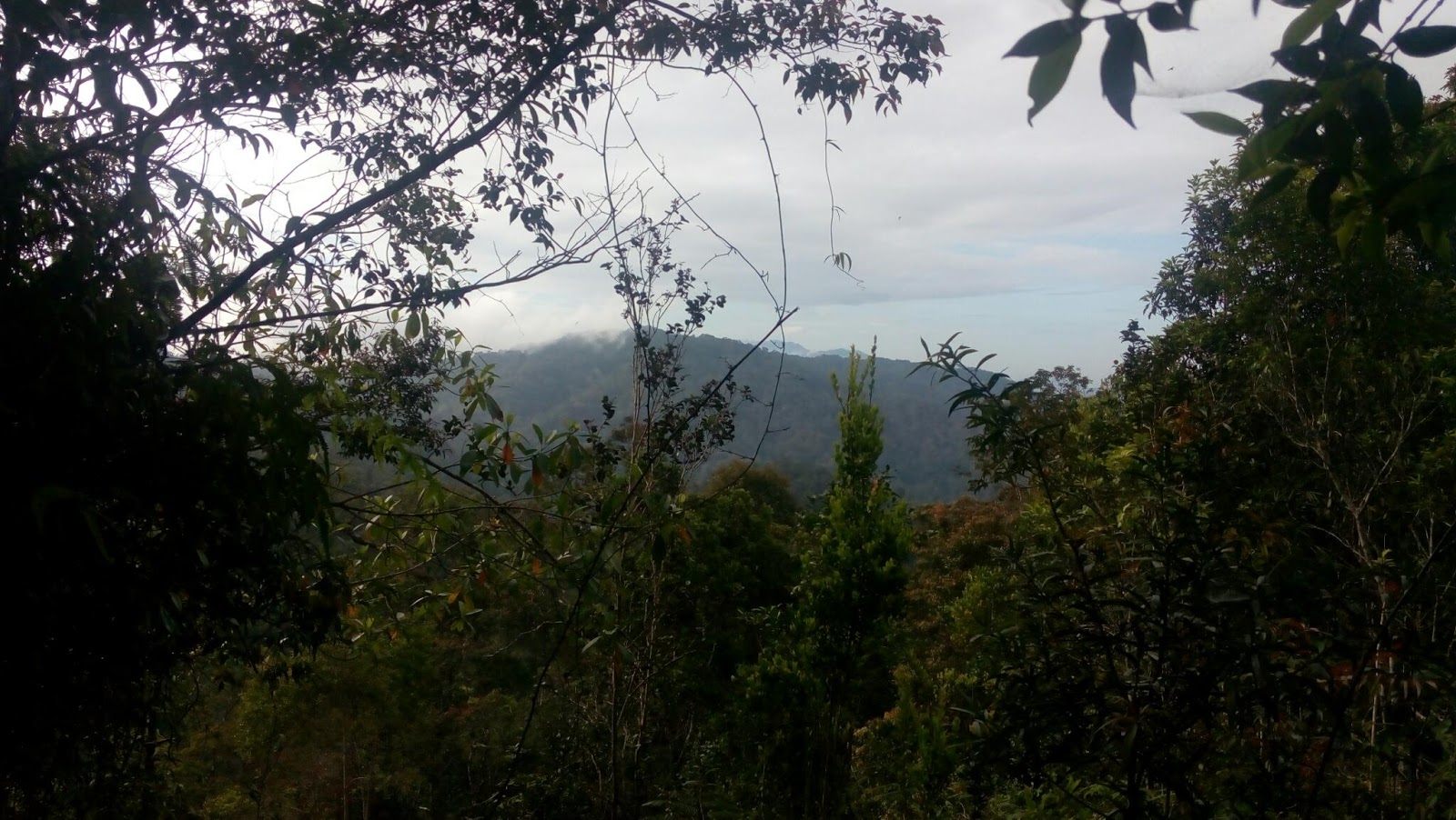
The view is nothing much
There you go

Surrounding area at Gunung Gap.

Reached Gunung Ulu Semangkuk more or less 1 hour later. Total hike 1.46 hours at 10.25am

Success! Yeah..
The peak of Gunung Semangkuk has this pyramid thingy (yellow colour) called 'beirut' (the shadow).

At different section at the peak. Nice view!!

completed the hike at 12.00pm, 3.24 hours, with total distance 5.8km.
Total rest time. 30 minutes.
Start descending at 10.56am, reached the starting point 1 hour later (speed downhill).
Well, there you go. After reading this, readers may able to :
1) have the ability to gauge/measure the trail condition, trail difficulty, distance and what to expect
2) determine the starting point of the trail accurately and how is the view at both peak
3) able to evaluate the sufficient fitness level required to climb both mountains for the benefit of group hikers
4) promoting hiking among new hikers and awareness of our rich flora and fauna
Thanks for reading.
Nice one. Thanks for sharing bro
ReplyDeleteYou are most welcome
ReplyDeleteBro, ramai org x on weekend?
ReplyDeleteizuan idris, weekend tengok nasib gak. kadang2 ramai, kadang2 takde orang. hari tu pegi ada satu group, masa on the way turun, ramai lagi nak naik. So, boleh tahan jugak la ramai dia
DeleteTrack jelas tak???
ReplyDeleteJelas sangat, tak perlu risau.
DeleteOk baikkk...terima kasihhh...😁
DeleteThis comment has been removed by the author.
DeleteGot sungai chilling right?
ReplyDeleteSungai chilling is totally located at different area from here. It is situated few kilometers from gunung gap heading towards kuala Kubu Baru town
DeletePermit nak apply jab hutan mane ye
ReplyDeleteTak perlu permit sbb gunung ni senang sangat.Kalau pine tree dgn semangkuk yes kena buat permit
Deleteinfo yang bagus...maaf sy bertanya..mcm dekat je Gunung Gap tu 1jam dah sampai...tak curam sgt ye?
ReplyDeletekacang je ni. distance dia tu pun tak jauh. tak curam pun
DeleteDekat gunung ulu semangkok ada view?
ReplyDeleteview dia terhad. tak berapa best. tak nampak
Deleteidolaaaa....
ReplyDeleteHaha...kureng
Delete