
Total Journey - 16.7km in 7 hours 45 minutes (return)
8.5km one way in 3 hours 45 minutes ascending
8.2km one way in 2 hours 47 minutes descending
The duration are inclusive of breaks ya...

I never been to Lentang Legong via Lepoh Waterfall, so I browsed through Hiking and Camping Around Malaysia (HACAM) and noticed the hike, so I quickly signed up.
The hiking expedition is a combination of 2 parties : Great Outdoor Trails Making A Difference (GOTMAD) & Tenang Trekkers.


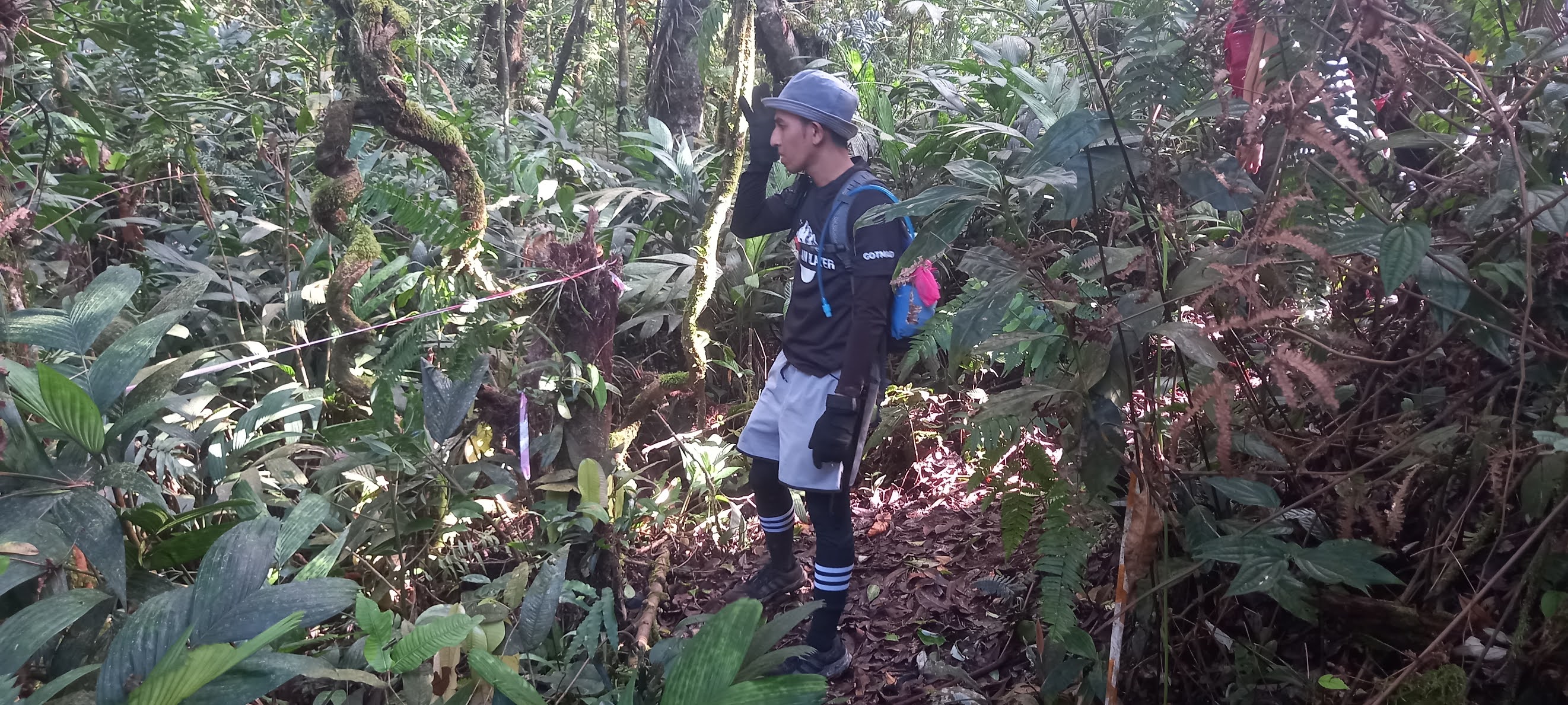
The hike started at 6 pm (plus, plus) from Asli Adventure Base Camp with 24 of young (and not so young but experienced) hikers braving our way through the darkness.
Distance & Duration Taken
Trail condition - dry


Trail condition - dry
Caution! - Leeches (not many but just keep on checking your socks)
After Lepoh Waterfall is a crazy inclination for the next 4 km, please go slow, top up your drinks at the waterfall. The journey gonna test your strength and endurance.


Mount Lentang Legong is also accessible/penetrable via/to Gunung Nuang and Bukit Repin.
This is the junction to bukit repin and lentang legong. Our guide, Juju using a tree branch to block the trail to bukit repin as do not want other team members take the wrong direction.


My next agenda is advancing to Bukit Repin via Lepoh...well someday.
Going back was easy (or not easy) as I'm facing with soft & slippery ground, very steep gradient on your way down. Please hold on to something as the gravity may pull you down. But if you as an experienced hikers, going down was rather easy and fast.
Don't give up!
Great write up! I’m going tomorrow!!
ReplyDeleteGood luck. Comeback in one piece
Delete