GOOD THINGS COME TO THOSE WHO WAIT.. BETTER THINGS COME TO THOSE WHO TRY.. please direct email to sanorhizamsadili@gmail.com
Monday, March 15, 2021
Bukit Elmo (via Kemensah)
Tuesday, September 22, 2020
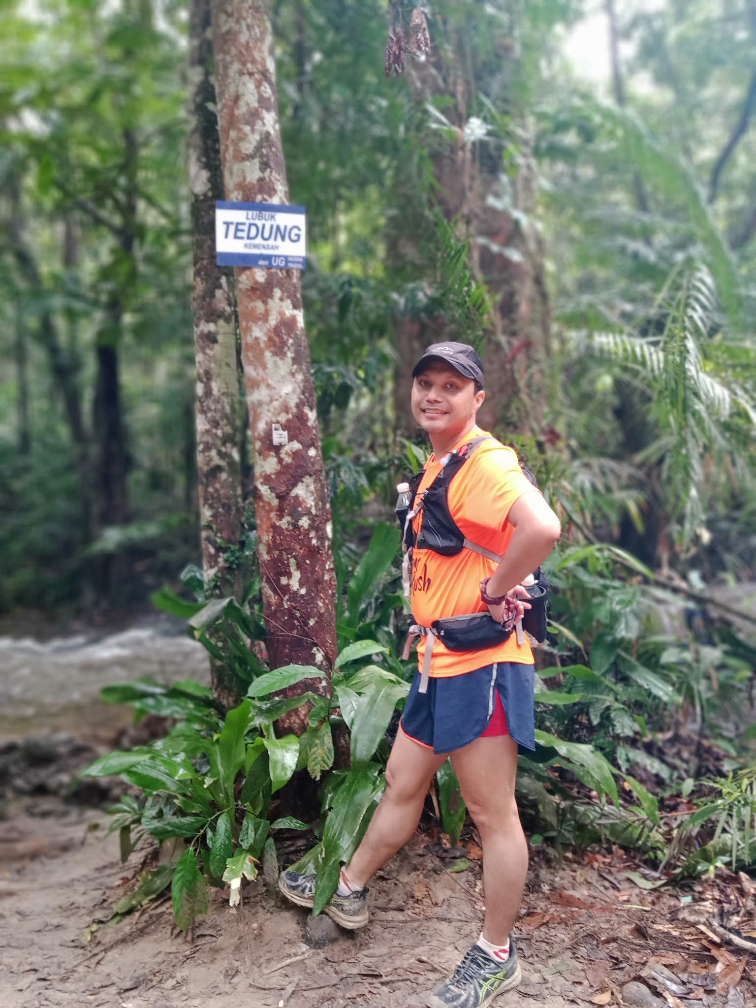
Lubuk Tedung (Kemensah) via Isi Rimba - A Cool and Calm River
There are many trails in Kemensah to Lubuk Tedung for you to explore, among the popular ones are :
1) Teratak Angah to Lubuk Tedung - most popular
2) Teratak Angah to Bukit Pau and Lubuk Tedung
3) Teratak Angah to Kem Salleh (I think that is the name) to Lubuk Tedung
Actually there are many river chalet around the area and apparently Teratak Angah is the most prominent picnic spot and provide ample parking space, most of hikers will park here to begin their journey.
Nevertheless, few river chalet also operate close together such as Isi Rimba, Warisan Hati Rimba and Jinbara.
This time we will start from Isi Rimba chalet using some sort of a back-end trail and make our way to Lubuk Tedung.
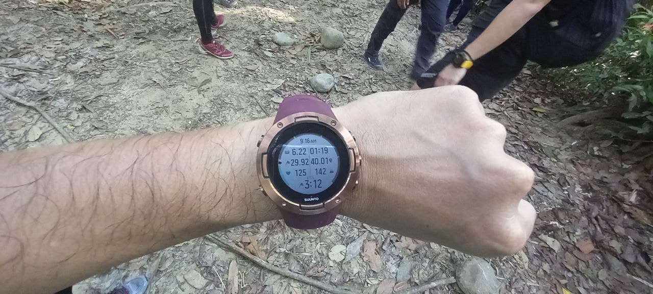
6km one way forgot to take photo on the timing...ouch!
12.5km return in 3 hours 22 min
Parking fee is RM5. Toilet and praying room are available.
Also small chalet for those who wish to spend the cold night here.
Isi rimba also have paintball...mmmm...
There are 3 gates we need to pass through...2 at the pond and one after the pond, then the forest belong to us.
The fishing pond, view from where we came from
We turned back to the spot earlier and crossed the river. My suunto gps navigation indicated that the trail will join with the normal trail to Lubuk Tedung.
Tuesday, September 8, 2020
Bukit Repin via Kemensah - The Mean Trail
Among popular trails in Kemensah are Bukit Pau/paw, Bukit Tabur Extreme and Tabur Far East, Bamboo Trail, Sungai Pusu trail, Pondok Repin trail, Bukit Repin Trail which can be extended to Gunung Nuang.
- Easy Trail (beginner level) - Bukit Pau/Paw to the Lake, Bamboo Trail
- Moderate Trail (intermediate level) - Lubuk Tedung, Tabur Extreme/far east
- Hard Trail (expert Level) - Pondok Repin, Bukit Repin, Gunung Nuang and Beyond
Distance From Start to Bukit Roket : 5.4km
Duration from Start to Bukit Roket : 1 hour 3 minutes
Trail condition : mostly dry, little bit muddy at certain section
Trail Difficulty : few small inclination
Distance From Bukit Roket to Lubuk Tedung : 900 metres
Duration from Bukit Roket to Lubuk Tedung : 12 minutes
Distance from Start : 6.3km
Duration from Start : 1 hour 15 minutes
Trail condition : mostly dry, little bit muddy at certain section
Trail Difficulty : easy, mostly downhill
(crossing the river at Lubuk Tedung and onother one towards Bukit Merah)
Distance From Lubuk Tedung to Bukit Merah : 1.1km
Duration from Lubuk Tedung to Bukit Merah : 22 minutes
Distance from Start : 7.4km
Duration from Start : 1 hour 37 minutes
Trail condition : mostly dry, little bit muddy at certain section
Trail Difficulty : easy to moderate
Distance From Bukit Korea to Bukit S : 3.1km
Duration from Bukit Korea to Bukit S : 43 minutes
Distance from Start : 11.9km
Duration from Start : 2 hours 38 minutes
Trail condition : mostly dry, little bit muddy at certain section
Trail Difficulty : long and hard inclination
Distance From Bukit S to Batu Landak : 600 meters
Duration from Bukit S to Batu Landak : 14 minutes
Distance from Start : 12.5km
Duration from Start : 2 hour 52 minutes
Trail condition : mostly dry, little bit muddy at certain section
Trail Difficulty : moderate inclination
Duration from Batu Landak to Pondok Repin : 18 minutes
Distance from Start : 13.5km
Duration from Start : 3 hours 10 minutes
Trail condition : mostly dry
Trail Difficulty : moderate to hard, 2 short and brief hills
(We rested for a while at Pondok Repin and started our journey to Bukit Repin around 9.27am)
Distance From Pondok Repin to Bukit Repin : 3.6km
Duration from Pondok Repin to Bukit Repin : 2 hours 30 minutes
Distance from Start : 17.1km
Duration from Start : 5 hours 53 minutes
Trail condition : mostly dry, slippery - please wear glove
Trail Difficulty : hard and long inclination
Going down is a little bit faster as its all the way down, but be careful of the trails as it is slippery.

Reached back at Pondok Repin at 1.38pm
Duration taken from Bukit Repin to Pondok Repin : 1 hour 21 minutes
Distance from Start : 20.2km
duration from Start : 7 hours 36 minutes
Rested few minutes at Pondok Repin, we started back at 1.50pm
Making few stops at Lubuk Tedung and in the middle of the track after lubuk tedung as my body felt very weak...haha...
From Pondok Repin to finish : 13.4km
Duration from Pondok Repin to Finish : 3 hours
Few tips on hiking to Bukit Repin
- Water supply is aplenty - top up station at Lubuk Tedung and Pondok Repin
- From Pondok Repin to Bukit Repin - No Water point - bring at least 1 litre
- Please also include isotonic, sour and sweet, minty and sweet taste in your drinks
- Food - heavy food is essential - Nasi Lemak, roti canai telur, burger are recommended - consume it on top of Bukit Repin, you won't regret it.
- Leech was not that many on that day - one bite and 1 attempted bite...was a bonus
- Hot Cream for massage - in case of cramp, one of our team member suffered a burning calf muscle which had slow us down during Bukit Repin hike.