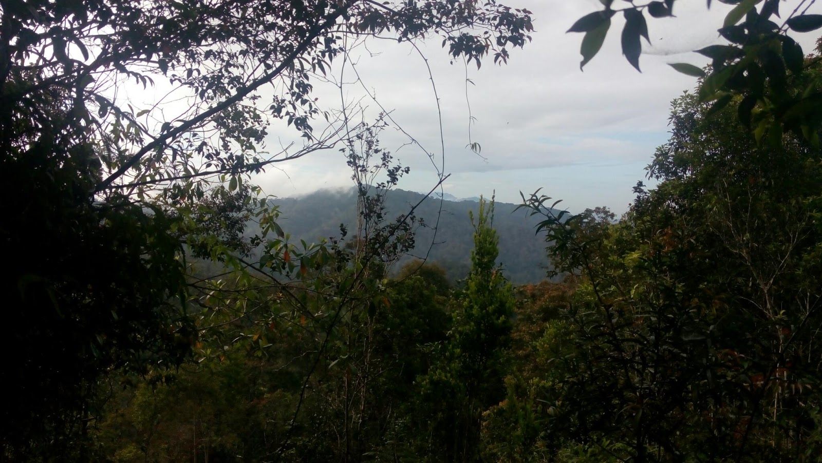
Peak of Gunung Semangkuk
Please do read my Gunung Semangkuk hike via Pine Tree here
Gunung Semangkuk via Jeriau Waterfall, Bukit Fraser, Pahang
Distance in perspective
1) From Jeriau Waterfall's entrance to Trailhead - 640 meters
2) Trailhead to *Junction - about 3.4km (plus minus)
(* the junction of Twin Peak/Pine Tree Junction -
will explain more below)
3) Junction to Twin Peak - 460 meters (or so)
4) Twin Peak to Semangkuk - 7.1km (or so)
Total distance at a glance - 11.6km (or so) one way in 7 to 8 hours
Jeriau Waterfall GPS coordinate : 3.724829, 101.714622
The distance above is the nearest possible as it can be because of we're looking for the trailhead entrance, off-track and searching for missing handphone....huhu.
Hope this guide will benefit for those who wanted to go to Pine Tree, Twin Peak or Semangkuk via Jeriau Waterfall.

A glance through on overall trail route

Trail marker and signboard at confusing junction had been installed.
Just follow the white and red trail marker ya...
I got to know that Gunung Semangkuk (or Twin peak and Pine Tree) can be penetrate through Jeriau Waterfall from Mr Yim, ijoi and dendang (all ultra runners), moreover, there were Tri state ultra trail running happened in July 2018 - the reason that the route became exposed.
Nevertheless, according to them, the trail via Jeriau Waterfall is more shorter than via Pine tree (the normal route) which is less 1 or 2 km.
The Journey

This is Jeriau Waterfall entrance. Please go in via the green welcome arch

Ample parking space
We made our way to Jeriau Waterfall and walked about 600 meters to the trailhead.
But finding it was a problem as the trail is new to us and we don't know the exact location. Searching high and low for the entrance ended up with extra distance.
The trailhead is very elusive and there was no trail marker at the beginning. Few pieces of small, rectangle paper being sticked or being left over at tree branches. You may find it as you go along few hundreds meters ascending from the trailhead.

keep walking

500 - 600 meters you will reach here

The entrance is on the left, cross the railing on the left. The trail entrance
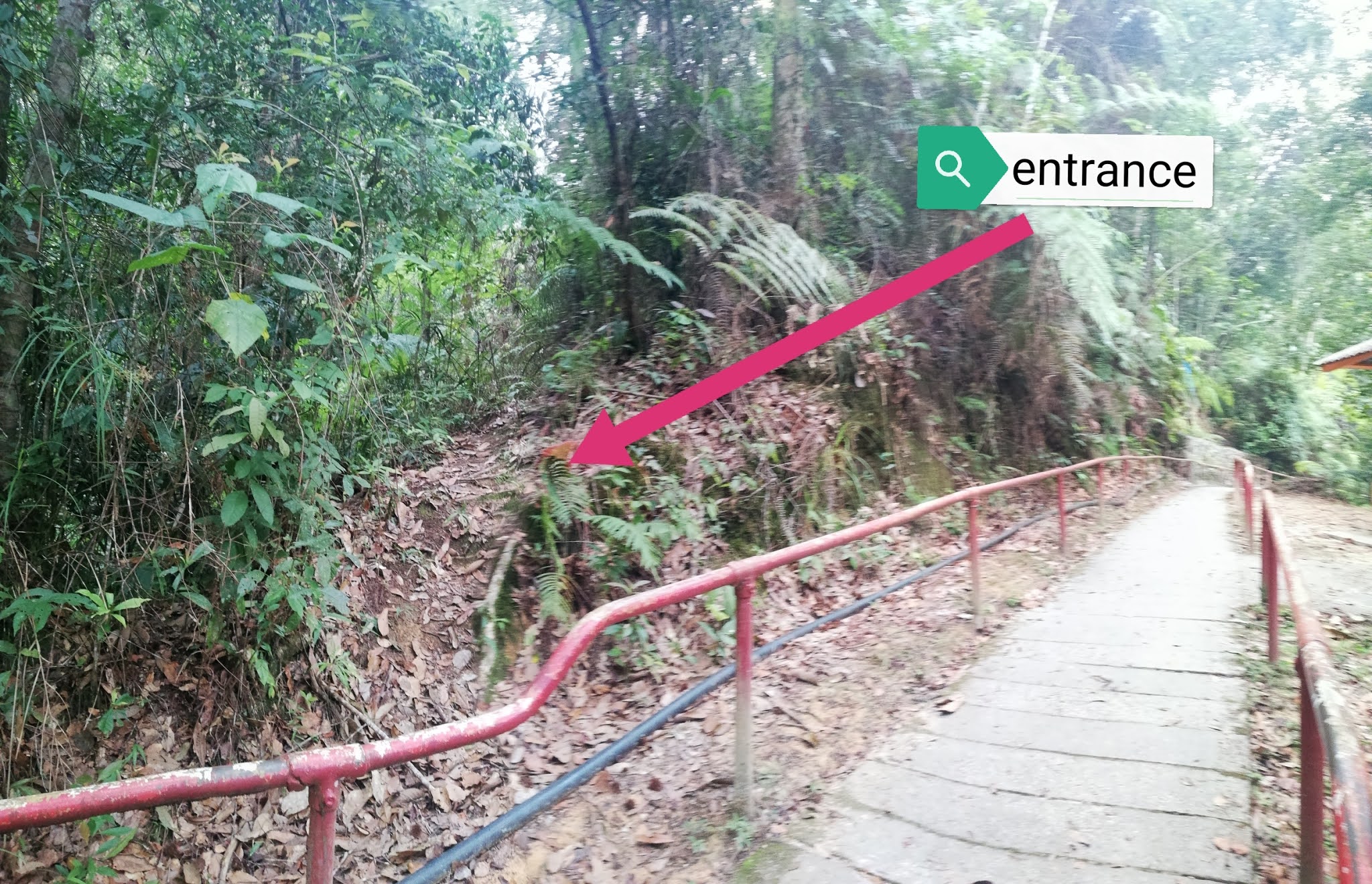
There you go...

The trail leading uphill
There were few confusing junction along the way without any marker and we were walking "off-course" on a few occasions thus added to the mileage...demmit! It is important to know properly where the trail is heading and using a gps device is recommended - download the route via wikiloc or movescount.

around 2km you will reach this juncture. Go to your left.
Straight is dead end. Right leading to somewhere else which I dont know...
At one point, my team member realized that his handphone was lost and we need to reverse back our route for few hundred meters down and uphill searching for it...but ended up in vain. We decided to continue with our mission to Semangkuk and hopefully able to locate it on our way back.

going down then cross this log bridge
We reached the junction (Twin Peak/Pine Tree) somewhere aroud 2.9km. Here, turning on your left will take you to Pine Tree - only around 100 meters. Turning to your right is Twin Peak - around 500 meters (or so).

Twin Peak


mind the distance and time.....

Its a beauty....
As such, in summary, from the start to Twin Peak is 3.3km only (plus minus) then, another 100 meters to Pine Tree (from the junction) - 200 meters return back to the junction.
Back to our hike, we reached Twin Peak at around 10am with 5.23km in distance plus few wastage and irrelevant mileage.
Then, the journey to Gunung Semangkuk begins....another 8.3km to the peak of Semangkuk.


Sungai Merah checkpoint. Refill station

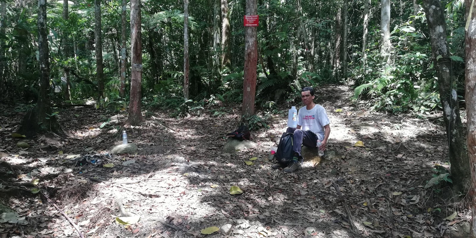

Kem Helipad with its famous blue ground sheet

Reach Semangkuk at this flag pole section. Another few meters

The flag pole

Personal glory....

Semangkuk peak distance, hours and time

Mr Sega is one of my blog reader who tag along on this trip.
We reached peak of Semangkuk around 2.58pm after almost 8 hours of hike. The distance - 12.34km. Rested about 30 minutes. Then headed down around 3.25pm.
One of our team member, Mr Sega begins to slow down during descending. He said his whole leg is in pain. We reached at Kem Helipad around 4.22pm, in 1 hour. Then back at Sungai Merah at 5.18pm, almost 2 hours after we started descending. Mr Sega was barely keep up with me and lost way way behind. Refilled my water bottles and back on our track again.
Its another 3.7km to Twin Peak. We reached Twin Peak at 8pm at night. Its dark.
4 hours 35 minutes taken from Peak of Semangkuk to Twin Peak.

At Twin Peak working overtime....3km to go

Out from the jungle at 1.14am. 24.41km in distance as a result of missing that junction
Another 3.3km to trailhead. Mr Sega is "pewai" already (exhausted extremely), he decided to overnight at the top of Twin Peak. After much consideration and persuasion, he continued on.
We missed the junction (Twin Peak/Pine Tree) and heading to Pine Tree instead. Realizing the error, I turned back and forth looking for the trail to Jeriau waterfall, at last, I found it!
We made it out to the trailhead at 1.14am in almost 10 hours from peak of Semangkuk...in a cold and dark morning with the sound of gushing water of Jeriau.
In summary, total hike was 17 hours 51 minutes (return) with the distance of 25km.
I would appreciate if you can minus out 1 to 2 km from the total mileage which is come to final mileage of 23km.
Nevertheless, after reading this, the readers will know where is the trailhead, the distance from each check point and evaluate the difficulty of the trail.
Overall Trail Difficulty - Hard
Overall Trail condition - dry