
Bukit Chenuang standing 850
meters located in Hulu Langat and can be access via Sungai Congkak.
Our plan is first to climb Bukit
Chenuang and later to extend the journey
to Batu Kumbang – further up and making a loop back to Sungai Congkak where we
came from with total journey estimated around 13km or so. On the way back, we will
be using different trail - through Orang Asli settlement (beware of dogs! –
request the Orang Asli to accompany you walkthrough it).
Suunto Movescount route is here.
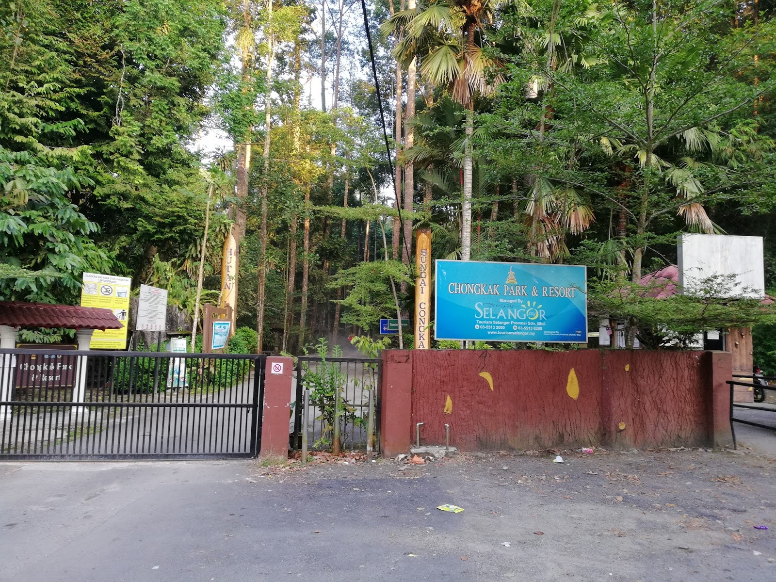
We started the journey through
sungai Congkak entrance by foot, to the end of the road about 2km.
The entrance to Bukit Chenuang is
on the left handside with red-white plastic trail marker.
The steep climb heading to Bukit
Chenuang was expected and along the 2 km route to the peak, 80% will be a “climbathon”.


Met with a group of hikers at the
middle – 4 or 5 of them, who recognized me with this blog…haha…didn’t realize
that there are people out there reading it. There were 2 groups of hikers on
that day – yes, it seems a popular spot for hikers.
Here’s a sneak peak on the
technical part of the whole journey :
1st stage
Distance from Sg Congkak to Bukit
Chenuang start trail – 2km (tarmac)
Time taken – 30 – 40 minutes
2nd Stage – Trail
Head to Chenuang Peak
Distance from Bukit Cheuang trail
to Chenuang Peak – 2km
Trail condition – Dry
Trail difficulty – hard, steep
incline
Time taken – approximately 1.5
hours

3rd Stage – From
Chenuang Peak to Batu Kumbang
Distance from Chenuang Peak to Batu
Kumbang – 2km
Trail Condition – Dry
Trail Difficulty – hard, steep
incline
Time taken – 1 hour 44 min
Leech or ‘Pacat’ – No


Stage 4 – Batu Kumbang to Sg
Congkak
Distance from Batu Kumbang peak
to Sg Congkak – 5 – 6km
Trail condition – Dry
Trail difficulty – easy, steep
ascending! Becareful
Leech or “pacat” – Yes!


Route Navigation
Trail markers were aplenty along
the route from the starting point to Bukit Chenuang and also to Batu Kumbang.
But at certain section from Batu Kumbang back to starting point there were
confusing/untraceable trail marker – you need to go left or right and look for
the correct trail marker before you continue the journey.

The distance from Peak bukit Chenuang to this junction is appx 700 meters. Another 1 km to Batu Kumbang.
From Bukit Chenuang to Batu
Kumbang, you will arrive at a junction, on your left is the way back to Sungai
Congkak, and on your right is the trail to Batu Kumbang. You will climb Batu
Kumbang then ascending down back to this junction again to go back.
You will know when you reach batu
Kumbang, when there is a huge rock infront of you in the middle of the jungle.
Turn on your left and look for the trail marker which will lead you to the top
of the rock.

Reached Batu Kumbang almost 7km from start, 3.46 hours.
You will be rewarded with
spectacular view of the valley! You won’t regret it. There are 2 viewpoints at
Batu Kumbang, when you reach the 1st peak with that spectacular
view, going further up, on your left is a trail down, and up again - will lead you to the 2nd
viewpoint. 40 second from the 1st viewpoint. Don’t forget ya.
On the way back to Sungai Congkak
is the easiest part – descending and flat route all the way.
Total journey – 12.44km within 6
hours.

Done in 12.18km, few hundred meters to entrance of Sungai Congkak.

